
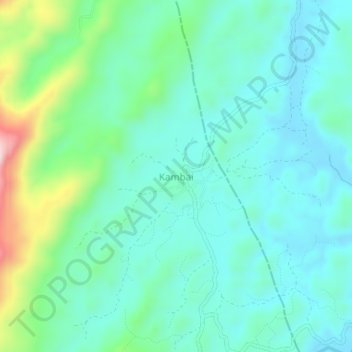
Kambai topographic map
Interactive map
Click on the map to display elevation.
About this map
Name: Kambai topographic map, elevation, terrain.
Location: Kambai, Muheza, Tanga, Northern Zone, Tanzania (-4.99926 38.68494 -4.95926 38.72494)
Average elevation: 211 m
Minimum elevation: 131 m
Maximum elevation: 489 m