
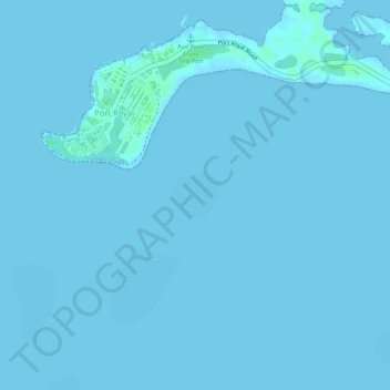
Gun Cay topographic map
Interactive map
Click on the map to display elevation.
About this map
Name: Gun Cay topographic map, elevation, terrain.
Location: Gun Cay, Port Royal, Jamaica (17.92875 -76.83767 17.93195 -76.83413)
Average elevation: 0 m
Minimum elevation: -1 m
Maximum elevation: 7 m