
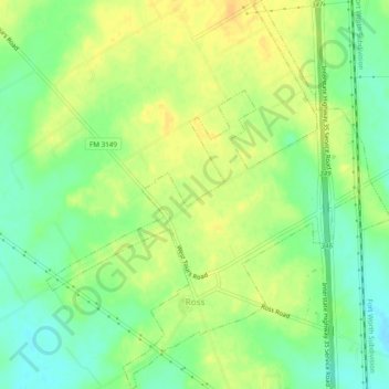
Ross topographic map
Interactive map
Click on the map to display elevation.
About this map
Name: Ross topographic map, elevation, terrain.
Location: Ross, McLennan County, Texas, United States (31.70933 -97.13755 31.75021 -97.09493)
Average elevation: 172 m
Minimum elevation: 157 m
Maximum elevation: 184 m