
Newton topographic map
Interactive map
Click on the map to display elevation.
About this map
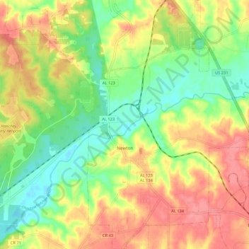
Name: Newton topographic map, elevation, terrain.
Location: Newton, Dale County, Alabama, United States (31.30264 -85.62124 31.39296 -85.54916)
Average elevation: 82 m
Minimum elevation: 42 m
Maximum elevation: 124 m