
Hearne topographic map
Interactive map
Click on the map to display elevation.
About this map
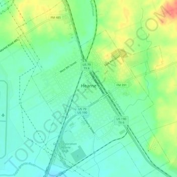
Name: Hearne topographic map, elevation, terrain.
Location: Hearne, Robertson County, Texas, 77859, United States (30.85649 -96.61718 30.89989 -96.57301)
Average elevation: 95 m
Minimum elevation: 76 m
Maximum elevation: 129 m