
Burwell topographic map
Interactive map
Click on the map to display elevation.
About this map
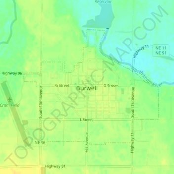
Name: Burwell topographic map, elevation, terrain.
Location: Burwell, Garfield County, Nebraska, United States (41.77289 -99.14855 41.79075 -99.12038)
Average elevation: 662 m
Minimum elevation: 649 m
Maximum elevation: 672 m