
Upper Takaka topographic map
Interactive map
Click on the map to display elevation.
About this map
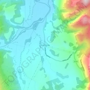
Name: Upper Takaka topographic map, elevation, terrain.
Location: Upper Takaka, Tasman, New Zealand (-41.04914 172.80229 -41.00914 172.84229)
Average elevation: 202 m
Minimum elevation: 76 m
Maximum elevation: 658 m