
Kel. Manjahlega topographic map
Interactive map
Click on the map to display elevation.
About this map
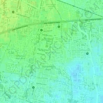
Name: Kel. Manjahlega topographic map, elevation, terrain.
Location: Kel. Manjahlega, West Java, Indonesia (-6.95413 107.66121 -6.93884 107.67223)
Average elevation: 672 m
Minimum elevation: 664 m
Maximum elevation: 680 m