
Telč topographic map
Interactive map
Click on the map to display elevation.
About this map
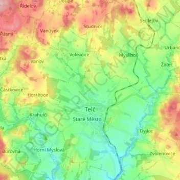
Name: Telč topographic map, elevation, terrain.
Location: Telč, okres Jihlava, Kraj Vysočina, Southeast, 58856, Czechia (49.15070 15.42052 49.23707 15.49540)
Average elevation: 561 m
Minimum elevation: 484 m
Maximum elevation: 691 m