
Amta topographic map
Interactive map
Click on the map to display elevation.
About this map
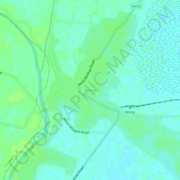
Name: Amta topographic map, elevation, terrain.
Location: Amta, Amta - I, Howrah, West Bengal, 711400, India (22.55828 87.98922 22.59828 88.02922)
Average elevation: 6 m
Minimum elevation: 1 m
Maximum elevation: 11 m