
Lohara topographic map
Interactive map
Click on the map to display elevation.
About this map
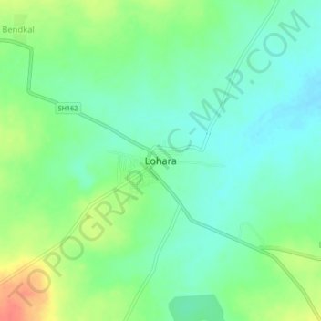
Name: Lohara topographic map, elevation, terrain.
Location: Lohara, Osmanabad, Maharashtra, 413608, India (17.97257 76.30702 18.01257 76.34702)
Average elevation: 631 m
Minimum elevation: 613 m
Maximum elevation: 663 m