
Ninevah topographic map
Interactive map
Click on the map to display elevation.
About this map
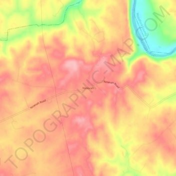
Name: Ninevah topographic map, elevation, terrain.
Location: Ninevah, Anderson County, Kentucky, United States (38.06257 -84.89884 38.10257 -84.85884)
Average elevation: 237 m
Minimum elevation: 148 m
Maximum elevation: 279 m