
Prices Fork topographic map
Interactive map
Click on the map to display elevation.
About this map
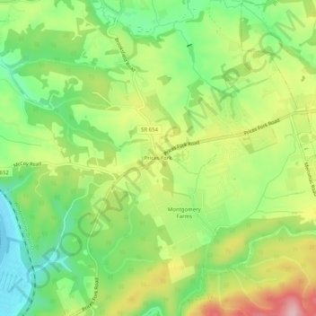
Name: Prices Fork topographic map, elevation, terrain.
Location: Prices Fork, Montgomery County, Virginia, United States (37.18985 -80.51005 37.22985 -80.47005)
Average elevation: 597 m
Minimum elevation: 513 m
Maximum elevation: 711 m