
Leslie topographic map
Interactive map
Click on the map to display elevation.
About this map
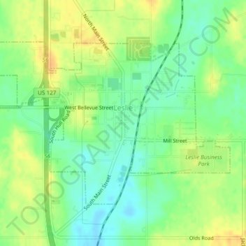
Name: Leslie topographic map, elevation, terrain.
Location: Leslie, Ingham County, Michigan, United States (42.44038 -84.45302 42.45855 -84.41572)
Average elevation: 292 m
Minimum elevation: 277 m
Maximum elevation: 307 m