
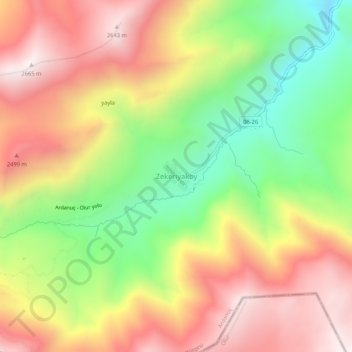
Zekeriyaköy topographic map
Interactive map
Click on the map to display elevation.
About this map
Name: Zekeriyaköy topographic map, elevation, terrain.
Location: Zekeriyaköy, Ardanuç, Artvin, Black Sea Region, Turkey (40.96417 42.13399 41.00417 42.17399)
Average elevation: 2,224 m
Minimum elevation: 1,738 m
Maximum elevation: 2,679 m