
Pinang Ranti topographic map
Interactive map
Click on the map to display elevation.
About this map
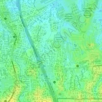
Name: Pinang Ranti topographic map, elevation, terrain.
Average elevation: 33 m
Minimum elevation: 22 m
Maximum elevation: 45 m
Other topographic maps
Click on a map to view its topography, its elevation and its terrain.
Taman
Indonesia > Jakarta Special Capital Region > Makasar
Taman, Makasar, East Jakarta, Jakarta Special Capital Region, Indonesia
Average elevation: 30 m