
Llangorse topographic map
Interactive map
Click on the map to display elevation.
About this map
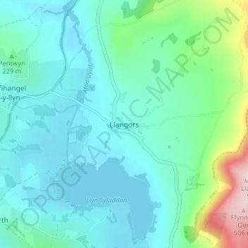
Name: Llangorse topographic map, elevation, terrain.
Location: Llangorse, Powys, Wales, LD3 7UD, United Kingdom (51.92093 -3.27825 51.96093 -3.23825)
Average elevation: 215 m
Minimum elevation: 149 m
Maximum elevation: 509 m