
Monte Alegre do Sul topographic map
Interactive map
Click on the map to display elevation.
About this map
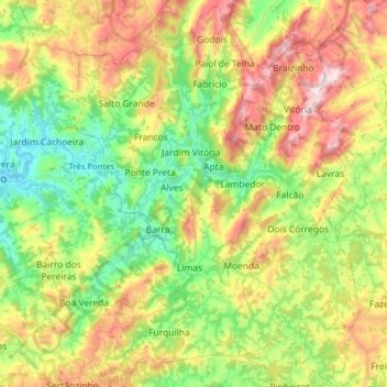
Name: Monte Alegre do Sul topographic map, elevation, terrain.
Average elevation: 902 m
Minimum elevation: 668 m
Maximum elevation: 1,232 m
Monte Alegre do Sul is a municipality in the state of São Paulo in Brazil. The population is 7,736 (2015 est.) in an area of 110 km². The elevation is 748 m.