
Ashwick topographic map
Interactive map
Click on the map to display elevation.
About this map
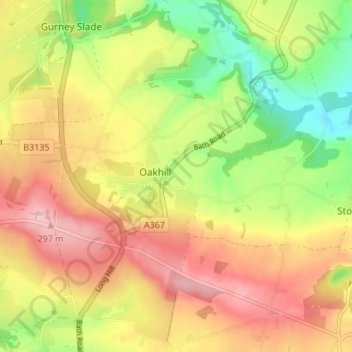
Name: Ashwick topographic map, elevation, terrain.
Location: Ashwick, Oakhill, Somerset, England, United Kingdom (51.20330 -2.55458 51.24569 -2.49625)
Average elevation: 224 m
Minimum elevation: 139 m
Maximum elevation: 300 m