
Darrah topographic map
Interactive map
Click on the map to display elevation.
About this map
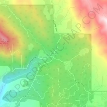
Name: Darrah topographic map, elevation, terrain.
Location: Darrah, Mariposa County, California, United States (37.49799 -119.85517 37.53799 -119.81517)
Average elevation: 1,055 m
Minimum elevation: 766 m
Maximum elevation: 1,444 m