
Victoria topographic map
Interactive map
Click on the map to display elevation.
About this map
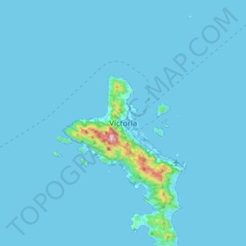
Name: Victoria topographic map, elevation, terrain.
Location: Victoria, Mahé, Seychelles (-4.78321 55.29236 -4.46321 55.61236)
Average elevation: 24 m
Minimum elevation: -4 m
Maximum elevation: 899 m
Other topographic maps
Click on a map to view its topography, its elevation and its terrain.