
Ryo topographic map
Interactive map
Click on the map to display elevation.
About this map
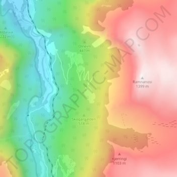
Name: Ryo topographic map, elevation, terrain.
Location: Ryo, Aurland, Vestland, 5743, Norway (60.81552 7.12006 60.85552 7.16006)
Average elevation: 669 m
Minimum elevation: 1 m
Maximum elevation: 1,433 m