
Sugar Loaf Hill topographic map
Interactive map
Click on the map to display elevation.
About this map
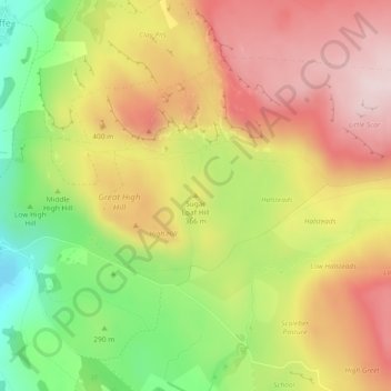
Name: Sugar Loaf Hill topographic map, elevation, terrain.
Average elevation: 349 m
Minimum elevation: 154 m
Maximum elevation: 516 m
North Yorkshire trails, hiking, mountain biking, running and outdoor activities
Other topographic maps
Click on a map to view its topography, its elevation and its terrain.
Winterburn Beck
United Kingdom > England > North Yorkshire > Craven > Winterburn
Average elevation: 201 m