
Lowell topographic map
Interactive map
Click on the map to display elevation.
About this map
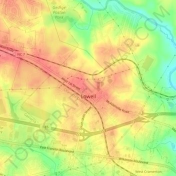
Name: Lowell topographic map, elevation, terrain.
Location: Lowell, Gaston County, North Carolina, 28098, United States (35.25166 -81.12189 35.28746 -81.08417)
Average elevation: 219 m
Minimum elevation: 178 m
Maximum elevation: 246 m