
Mill Creek Point topographic map
Interactive map
Click on the map to display elevation.
About this map
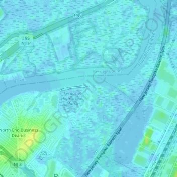
Name: Mill Creek Point topographic map, elevation, terrain.
Average elevation: 2 m
Minimum elevation: -5 m
Maximum elevation: 17 m
Other topographic maps
Click on a map to view its topography, its elevation and its terrain.
North End Business District
United States > New Jersey > Hudson County > Secaucus
North End Business District, Secaucus, Hudson County, New Jersey, 07094, United States
Average elevation: 4 m
Secaucus
United States > New Jersey > Hudson County > Secaucus
Secaucus, Hudson County, New Jersey, United States
Average elevation: 12 m