
Lakhwar topographic map
Interactive map
Click on the map to display elevation.
About this map
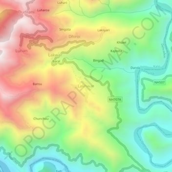
Name: Lakhwar topographic map, elevation, terrain.
Location: Lakhwar, Kalsi, Dehradun, India (30.51523 77.94152 30.55523 77.98152)
Average elevation: 1,093 m
Minimum elevation: 616 m
Maximum elevation: 1,730 m
Other topographic maps
Click on a map to view its topography, its elevation and its terrain.