
Lakya Dam topographic map
Interactive map
Click on the map to display elevation.
About this map
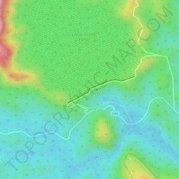
Name: Lakya Dam topographic map, elevation, terrain.
Average elevation: 863 m
Minimum elevation: 784 m
Maximum elevation: 1,045 m
Other topographic maps
Click on a map to view its topography, its elevation and its terrain.
Bettagere
India > Karnataka > Mudigere taluk
Bettagere, Mudigere taluk, Chikkamagaluru district, Karnataka, 577121, India
Average elevation: 1,080 m