
Jamrani topographic map
Interactive map
Click on the map to display elevation.
About this map
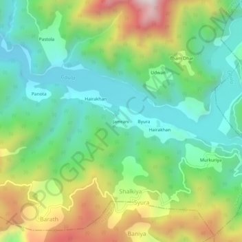
Name: Jamrani topographic map, elevation, terrain.
Location: Jamrani, Shalkiya, Nainital, India (29.22771 79.62875 29.26771 79.66875)
Average elevation: 970 m
Minimum elevation: 670 m
Maximum elevation: 1,549 m