
Mandan topographic map
Interactive map
Click on the map to display elevation.
About this map
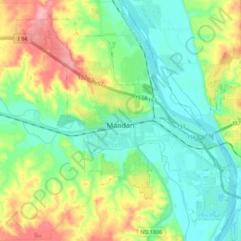
Name: Mandan topographic map, elevation, terrain.
Location: Mandan, Morton County, North Dakota, 58554, United States (46.78317 -100.97192 46.87370 -100.82151)
Average elevation: 533 m
Minimum elevation: 493 m
Maximum elevation: 616 m