
Lake Jovita topographic map
Interactive map
Click on the map to display elevation.
About this map
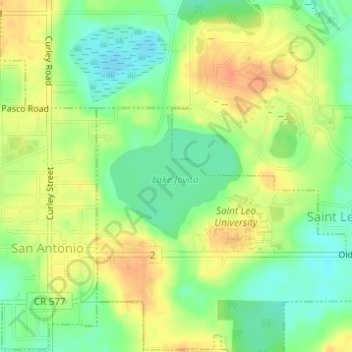
Name: Lake Jovita topographic map, elevation, terrain.
Location: Lake Jovita, St. Leo, Pasco County, Florida, United States (28.33694 -82.26898 28.34637 -82.25751)
Average elevation: 46 m
Minimum elevation: 26 m
Maximum elevation: 65 m