
Gumti WLS topographic map
Interactive map
Click on the map to display elevation.
About this map
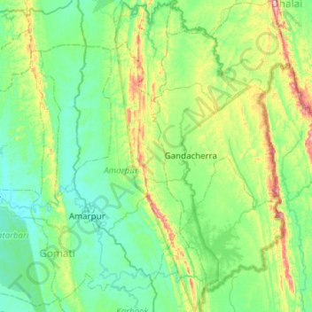
Name: Gumti WLS topographic map, elevation, terrain.
Location: Gumti WLS, Ganganagar, Dhalai, Tripura, India (23.37448 91.69967 23.82952 91.91558)
Average elevation: 109 m
Minimum elevation: 22 m
Maximum elevation: 435 m