
Gopalpur topographic map
Interactive map
Click on the map to display elevation.
About this map
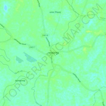
Name: Gopalpur topographic map, elevation, terrain.
Location: Gopalpur, Tangail District, Dhaka Division, 1990, Bangladesh (24.52380 89.88826 24.60380 89.96826)
Average elevation: 14 m
Minimum elevation: 9 m
Maximum elevation: 19 m