
Bearpark topographic map
Interactive map
Click on the map to display elevation.
About this map
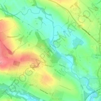
Name: Bearpark topographic map, elevation, terrain.
Location: Bearpark, County Durham, North East, England, United Kingdom (54.77688 -1.65677 54.79679 -1.59801)
Average elevation: 106 m
Minimum elevation: 64 m
Maximum elevation: 170 m