
Ledesma topographic map
Interactive map
Click on the map to display elevation.
About this map
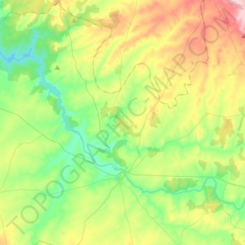
Name: Ledesma topographic map, elevation, terrain.
Location: Ledesma, Salamanca, Castile and León, 37100, Spain (41.03785 -6.13450 41.22105 -5.93156)
Average elevation: 795 m
Minimum elevation: 709 m
Maximum elevation: 957 m