
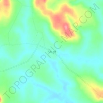
Kabati topographic map
Interactive map
Click on the map to display elevation.
About this map
Name: Kabati topographic map, elevation, terrain.
Location: Kabati, Bonthe District, Southern Province, Sierra Leone (7.64785 -12.26590 7.68785 -12.22590)
Average elevation: 41 m
Minimum elevation: 12 m
Maximum elevation: 110 m