
Častá topographic map
Interactive map
Click on the map to display elevation.
About this map
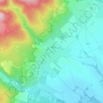
Name: Častá topographic map, elevation, terrain.
Location: Častá, Region of Bratislava, 900 89, Slovakia (48.37991 17.34073 48.41991 17.38073)
Average elevation: 278 m
Minimum elevation: 191 m
Maximum elevation: 511 m