
Riverside topographic map
Interactive map
Click on the map to display elevation.
About this map
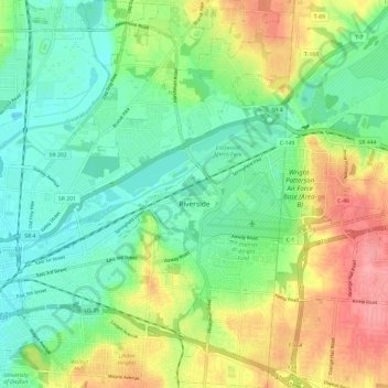
Name: Riverside topographic map, elevation, terrain.
Location: Riverside, Montgomery County, Ohio, United States (39.73614 -84.16464 39.82704 -84.09492)
Average elevation: 256 m
Minimum elevation: 222 m
Maximum elevation: 315 m