
Kinross topographic map
Interactive map
Click on the map to display elevation.
About this map
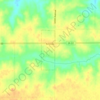
Name: Kinross topographic map, elevation, terrain.
Location: Kinross, Keokuk County, Iowa, United States (41.45365 -91.98976 41.46449 -91.98484)
Average elevation: 243 m
Minimum elevation: 222 m
Maximum elevation: 258 m
Other topographic maps
Click on a map to view its topography, its elevation and its terrain.
What Cheer
United States > Iowa > Keokuk County
What Cheer, Keokuk County, Iowa, United States
Average elevation: 243 m