
Harari topographic map
Interactive map
Click on the map to display elevation.
About this map
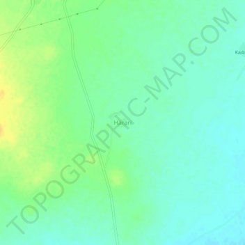
Name: Harari topographic map, elevation, terrain.
Location: Harari, Nasirabad Tehsil, Ajmer, Rajasthan, India (26.34744 74.84485 26.38744 74.88485)
Average elevation: 409 m
Minimum elevation: 399 m
Maximum elevation: 424 m