
La Serpentine topographic map
Interactive map
Click on the map to display elevation.
About this map
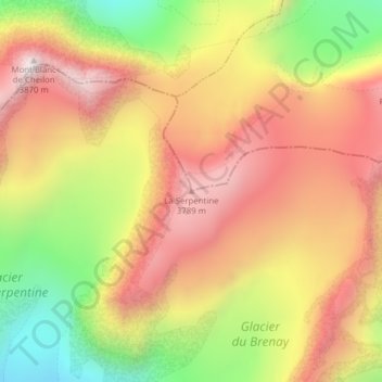
Name: La Serpentine topographic map, elevation, terrain.
Location: La Serpentine, Evolène, Hérens, Wallis, 1983, Switzerland (45.98429 7.43322 45.98439 7.43332)
Average elevation: 3,456 m
Minimum elevation: 2,958 m
Maximum elevation: 3,848 m