
Sand topographic map
Interactive map
Click on the map to display elevation.
About this map
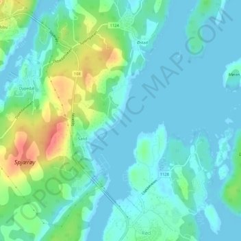
Name: Sand topographic map, elevation, terrain.
Location: Sand, Rød, Hvaler, Viken, Norway (59.08677 10.93666 59.08681 10.93672)
Average elevation: 15 m
Minimum elevation: 0 m
Maximum elevation: 60 m