
Horton topographic map
Interactive map
Click on the map to display elevation.
About this map
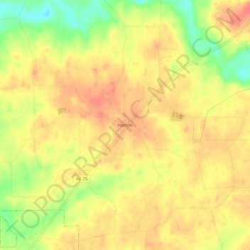
Name: Horton topographic map, elevation, terrain.
Location: Horton, Marshall County, Alabama, United States (34.18093 -86.31692 34.22093 -86.27692)
Average elevation: 288 m
Minimum elevation: 251 m
Maximum elevation: 307 m