
Darbo topographic map
Interactive map
Click on the map to display elevation.
About this map
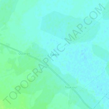
Name: Darbo topographic map, elevation, terrain.
Location: Darbo, Mayo-Danay, Far-North, Cameroon (10.05458 15.00922 10.09458 15.04922)
Average elevation: 339 m
Minimum elevation: 335 m
Maximum elevation: 345 m