
Utebo topographic map
Interactive map
Click on the map to display elevation.
About this map
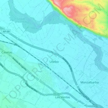
Name: Utebo topographic map, elevation, terrain.
Location: Utebo, Zaragoza, Aragon, 50180, Spain (41.69121 -1.04096 41.74468 -0.96549)
Average elevation: 220 m
Minimum elevation: 197 m
Maximum elevation: 385 m