
Block C topographic map
Interactive map
Click on the map to display elevation.
About this map
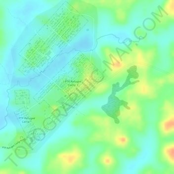
Name: Block C topographic map, elevation, terrain.
Location: Block C, PTP Refugee Camp 3, Tchien, Grand Gedeh County, Liberia (6.02797 -8.04791 6.03040 -8.04545)
Average elevation: 211 m
Minimum elevation: 196 m
Maximum elevation: 236 m
Other topographic maps
Click on a map to view its topography, its elevation and its terrain.
Block A
Liberia > Grand Gedeh County > Tchien
Block A, PTP Refugee Camp 3, Tchien, Grand Gedeh County, Liberia
Average elevation: 210 m