
Aymavilles topographic map
Interactive map
Click on the map to display elevation.
About this map
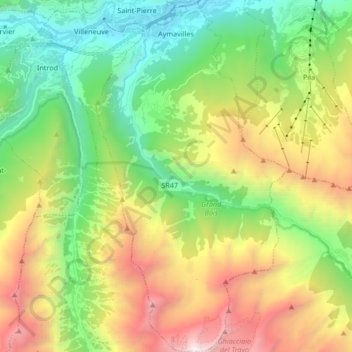
Name: Aymavilles topographic map, elevation, terrain.
Location: Aymavilles, Valle d'Aosta, Italia (45.59604 7.20987 45.71275 7.30065)
Average elevation: 1,830 m
Minimum elevation: 605 m
Maximum elevation: 3,936 m