
Noardeast-Fryslân topographic map
Interactive map
Click on the map to display elevation.
About this map
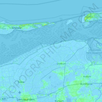
Name: Noardeast-Fryslân topographic map, elevation, terrain.
Location: Noardeast-Fryslân, Friesland, Netherlands, The Netherlands (53.24350 5.70268 53.49258 6.29436)
Average elevation: 0 m
Minimum elevation: -5 m
Maximum elevation: 15 m
Other topographic maps
Click on a map to view its topography, its elevation and its terrain.
Burdaard
The Netherlands > Friesland > Noardeast-Fryslân
Burdaard, Noardeast-Fryslân, Friesland, Netherlands, The Netherlands
Average elevation: 0 m