
Entraigues-sur-la-Sorgue topographic map
Interactive map
Click on the map to display elevation.
About this map
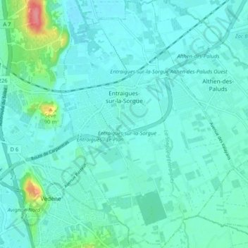
Name: Entraigues-sur-la-Sorgue topographic map, elevation, terrain.
Average elevation: 36 m
Minimum elevation: 23 m
Maximum elevation: 110 m