
Ivvavik National Park topographic map
Interactive map
Click on the map to display elevation.
About this map
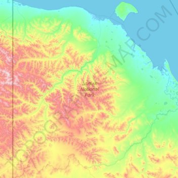
Name: Ivvavik National Park topographic map, elevation, terrain.
Location: Ivvavik National Park, Yukon, Canada (68.56067 -141.00089 69.64783 -138.13382)
Average elevation: 427 m
Minimum elevation: -4 m
Maximum elevation: 1,945 m
Other topographic maps
Click on a map to view its topography, its elevation and its terrain.