
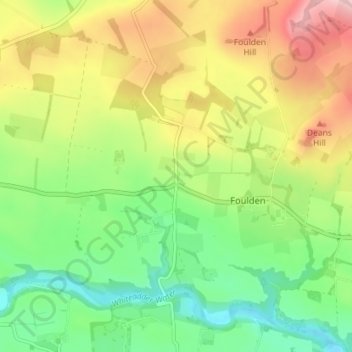
Burnbank topographic map
Interactive map
Click on the map to display elevation.
About this map
Name: Burnbank topographic map, elevation, terrain.
Location: Burnbank, Scottish Borders, Scotland, TD15 1UJ, United Kingdom (55.77830 -2.14495 55.81830 -2.10495)
Average elevation: 94 m
Minimum elevation: 13 m
Maximum elevation: 206 m
Scotland trails, hiking, mountain biking, running and outdoor activities